On Barrier Lake with the HyDrone
Ivan Detchev
Oct. 11, 2019

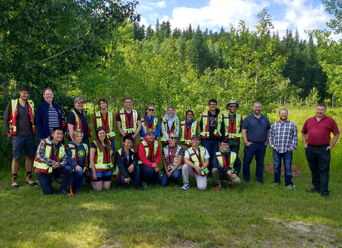
The 2019 iteration of ENGO 501 – Field Surveys (aka ‘survey camp’) ran from Mon, Aug 19 to Wed, Aug 28 at the Biogeoscience Institute or the Barrier Lake field station in Kananaskis. The camp was taught by Paul Gratton, Kent Jones, Dr. Elena Rangelova, and Dr. Ivan Detchev, who were assisted by the department’s temporary tech Tyler Greene. The ten-day field school is one of the highlights of the geomatics engineering degree at the University of Calgary. This year we had a class of 15 students, who were divided into three groups of five. They were challenged to complete the following exercises: EDM calibration and GNSS RTK repeatability on the first day, cadastral retracement survey (two days), precise levelling and static GNSS, hydrographic survey, dam deformation survey, RTK surveying and mapping (which also includes sun shots), GIS and data management on the second to last day, and lost peg competition on the last day.
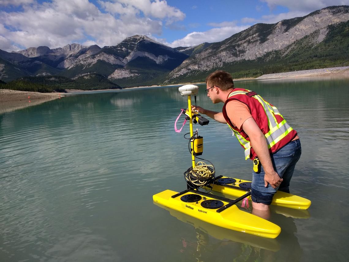
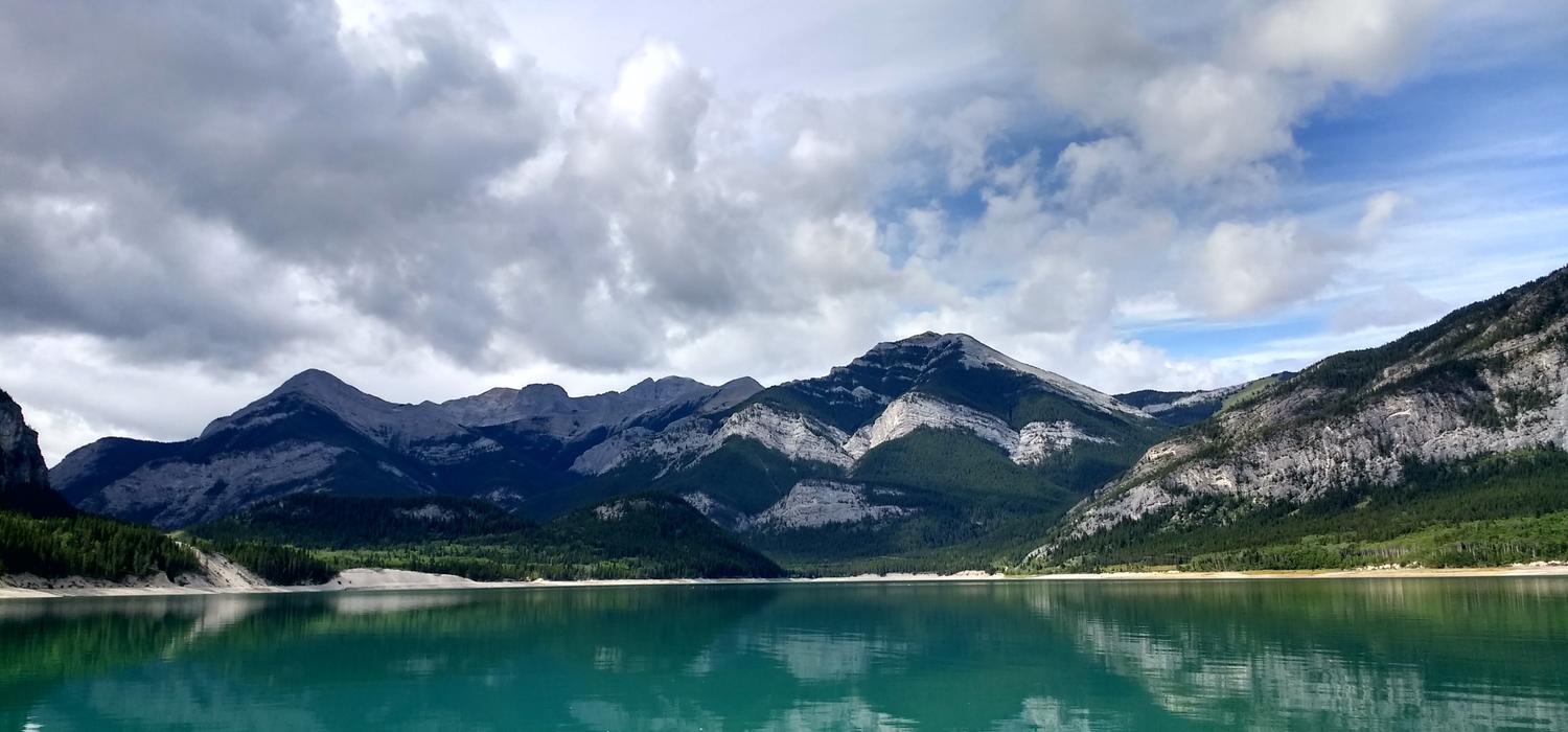
One of the developments for the course this year included using a remotely controlled mini catamaran (called HyDrone by Seafloor Systems) for the hydrographic surveying exercise. The vessel was used in conjunction with a single beam echo sounder and an RTK rover for mapping the lake bed of a portion of Barrier Lake. The exercise retained the rigorous plate check calibration performed in a 14-foot fishing rental boat. This year, for the first time, the students enjoyed using a custom made winch for dropping and raising the plate.

On Barrier Lake with the HyDrone
Ivan Detchev
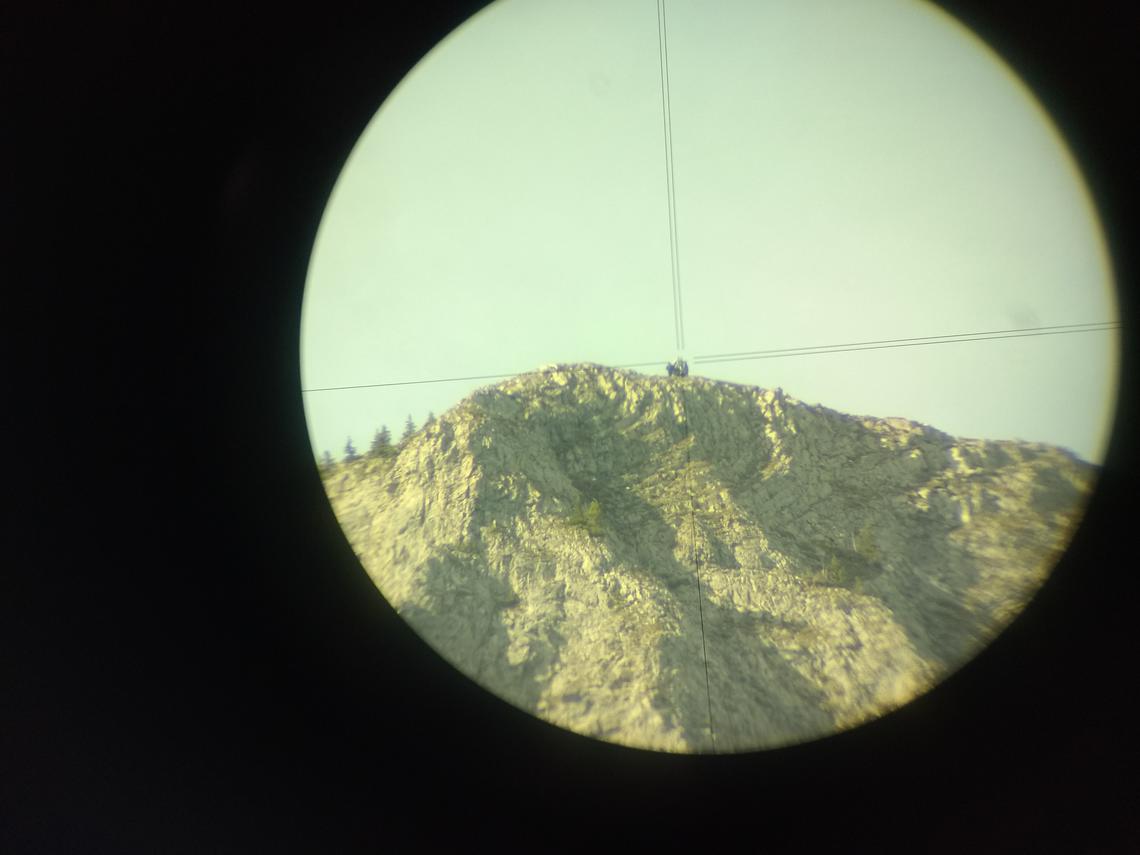
The weather cooperated most of the time with the exception of a thunderstorm in the late afternoon on Sunday. Several students even managed to squeeze in a scramble to the main peak of Mount Baldy on one of the last days. They carried a hand-held GPS receiver, radios, and multiple prisms up the mountain. We managed to measure the height of the peak with a total station to within a metre of the published value of 2,192 m above mean sea level.

Student hikers seen through a Total Station
Ivan Detchev
Every year the students participate in the Lost Peg competition. This exercise is very different than the rest of the survey camp exercises, which is why it is considered a great challenge. Congratulations to the red-white team (aka Candy Cane Lane) team; Aaron Chen, Trisha Escorpiso, Erica Lemieux, Juan Rivera, and Steven Schroeder. They were literally within an arm’s reach of the lost peg
The camp ended with a few guest presentations related to professional practice. This year the guest speaker coordinator Aaron Shufletoski (BCLS) invited Bob Haagsma (ALS), Reid Egger (ALS, BCLS, CLS, PEng) from the Director of Surveys Office, and Sandy Cooke (CLS) and Ryan Schuler (CLS, Peng) from Underhill Geomatics Ltd. The instructors hope that the students had a positive learning experience and are looking forward to teaching survey camp again in the future.

Survey Camp 2019 group photo
Ivan Detchev